|
|
|
|
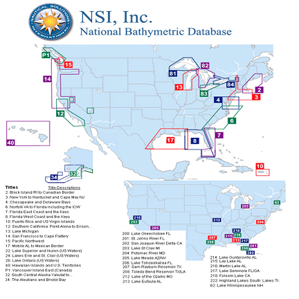
NSI Bathymetric Database
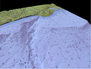
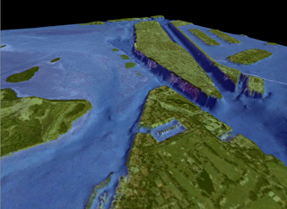
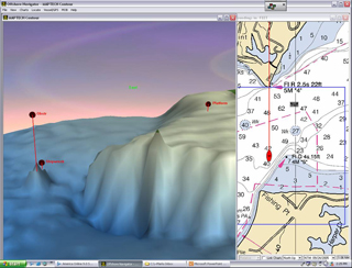
NSI has the most complete, compressive and accurate bathymetric database for US waters available. With over 1 billion geo referenced soundings, this database can support resolutions a tight as 5 meters. We have been collecting bathymetric data since 1994 and today have over 500 sources actively adding to this database. This would include our own surveying team which is constantly surveying areas to update or add to NSIs bathymetric data coverage. This coverage would include 35 freshwater lakes and rivers that were originally surveyed for ESPN for their Bassmasters program.
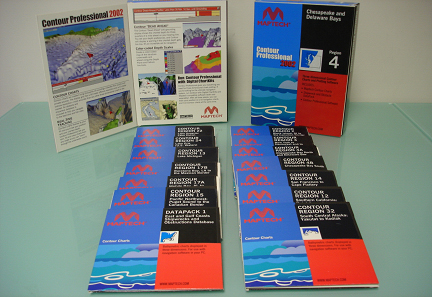
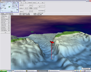
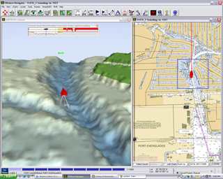
Maptech has licensed this data since 1999 and has marketed the data under the name of Contour. Since 1999 They have sold over 2 million Contour charts to over 18,000 users.
About our Data:
Have developed our own tools to ensure quality of our data
US Database Consist of 40% of NOS, 20% ENC&DNC and 40% Other including Universities, ACOE & private sources
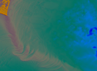
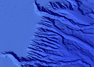
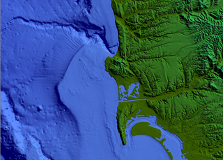
High resolution and cleaned NED data for elevations
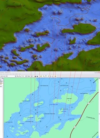
NSI has spent 6 years researching and tweaking algorithms that best sample the bathymetric data sets, calculate the density and pattern of the data and assigning the best interpolation method for the sampled data
This ensures that the finished 3D grids are at the highest resolution that the data can support
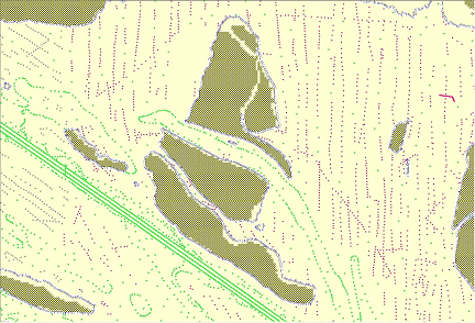
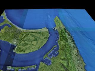
Clean Grid Generation
This operation is done once per region. Our clean grid regions use the same geographic regions as DNC.
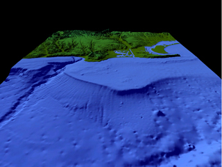
The shoreline is used to separate NED/SRTM from creeping into the bathymetric area and distorting the chart.
The shoreline is used to separate the bathymetric area from creeping into the land area. This problem is found typically in shallow bay areas surveyed a while ago with shifting terrain. The survey may be accurate, but sand islands form and dissipate.
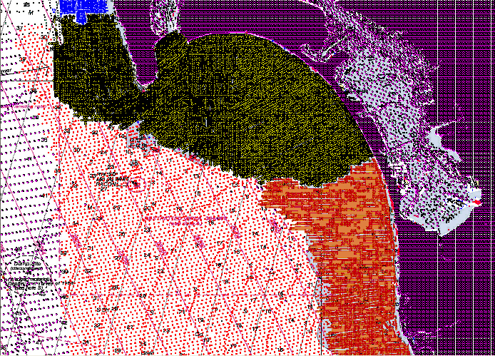
Preprocessed data is separated and ordered by collection type, then by date of collection:
Lidar
Echo Sounder
Alternative methods dating back past 1960
Except for private data, that holds highest priority over all data.
Clean 30-minute x 30-minute grids are generated with no overlapping data. This is very important to the integrity of the data set. Again, the best data takes the place of not-so-recent data. It also preserves the use of old data sources in areas that have not changed... All of the data is utilized unless a better data set is available.
Licensing of data:
NSI licenses its data to interested parties. License fees are calculated upon usage and application of the data. Please call Mark Pringle at 410-266-9494 ext 1# for a license quote.

|
|